Cumulus cloud
Puffy, low-level clouds formed by convection, often indicating fair weather.

Glg · CC BY-SA 2.0 de
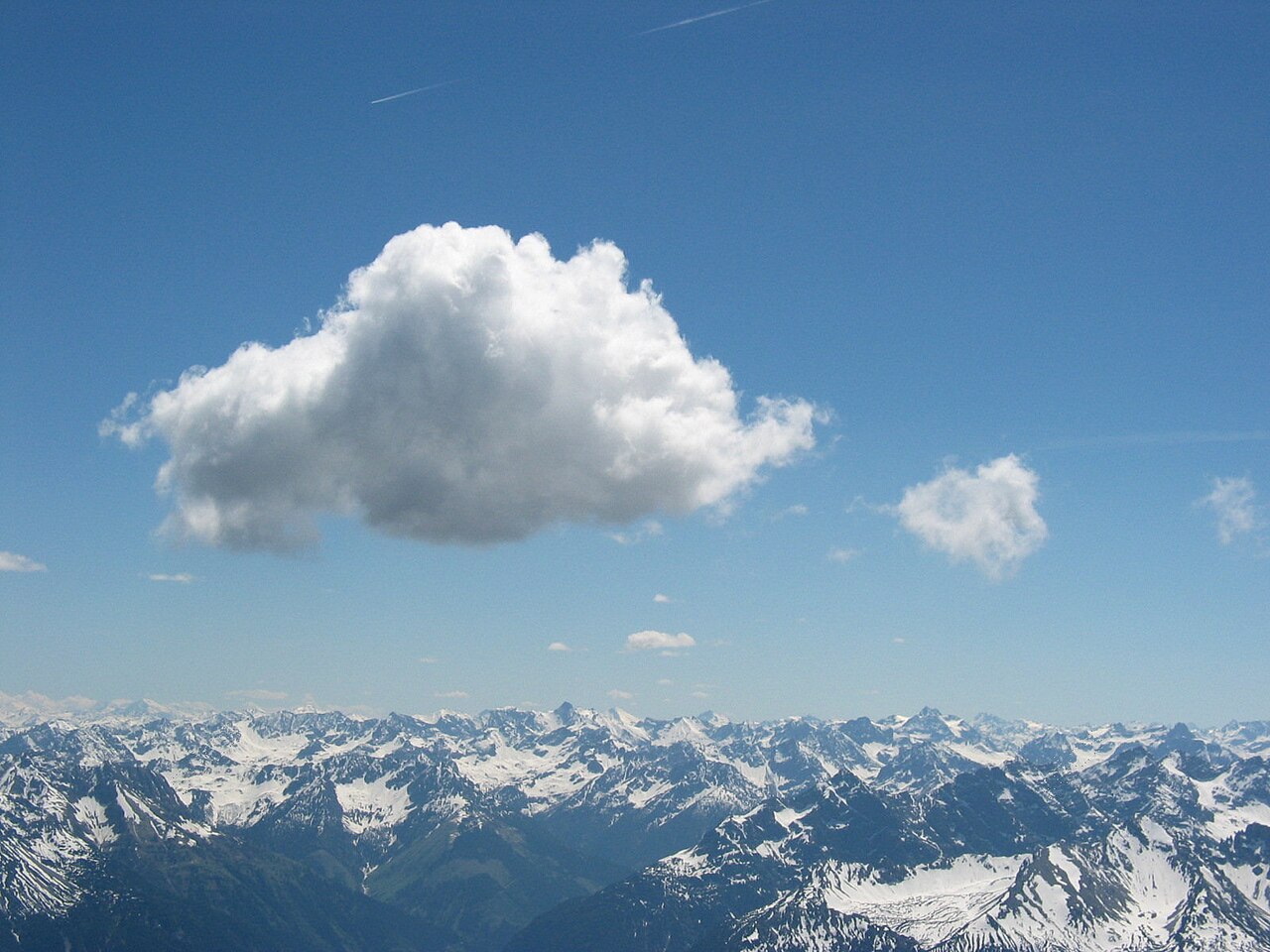
Cumulus clouds are low-level clouds with flat bases and a puffy, cotton-like appearance, deriving their name from the Latin word for 'heap' or 'pile.' They form via atmospheric convection and are often precursors to other cloud types, such as cumulonimbus, and play a role in cooling the Earth by reflecting incoming solar radiation.
- composition
- Water vapor, supercooled water droplets, or ice crystals depending on temperature
- species
- Cumulus humilis, mediocris, congestus, and fractus
- precipitation
- Normally little or none, but can grow into precipitation-bearing forms
- effect on climate
- Cools Earth by reflecting solar radiation
Lore & Background
Cumulus clouds form as air warmed by the surface rises, cools, and reaches 100% relative humidity, causing water vapor to condense on nuclei. This process creates their characteristic flat-bottomed shape. The height of the cloud depends on the temperature profile and any inversions present. Rain formation occurs in two stages: initial droplet coalescence and later accretion as droplets collide and combine.
Reader's Guide
Cumulus clouds are significant as indicators of atmospheric conditions and weather patterns. Their presence often signals fair weather, but vertical development into cumulus congestus can lead to thunderstorms and severe weather. They are part of the free-convective cumuliform cloud category and include species such as humilis, mediocris, congestus, and fractus. Their liquid water density varies with height, peaking near the middle of the cloud. Glider pilots use them to locate rising air drafts. Overall, cumulus clouds contribute to Earth's energy balance by reflecting solar radiation, though their net effect is variable.
Did You Know?
- The liquid water density within a cumulus cloud peaks near the middle and drops to zero at the base and top.
- Cumulus clouds can be composed of ice crystals, water droplets, supercooled water droplets, or a mixture.
- Cumulus fractus can form in clear air as a precursor to larger cumulus species or in precipitation as pannus.
The Convection Engine
Cumulus clouds are born from atmospheric convection. When solar heating warms the ground, the air above it rises, and as it climbs the ambient temperature falls along the lapse rate, pushing the parcel's relative humidity toward saturation. The instant it reaches one hundred percent, the wet-adiabatic phase begins and a positive feedback loop takes over: water vapour condenses onto nuclei suspended in the air, releasing latent heat that warms the parcel and drives it even higher. This self-reinforcing cycle sculpts the cloud's signature flat-bottomed, puffy silhouette. Throughout the ascent, surrounding air is entrained into the thermal, steadily increasing its total mass. The cloud's ultimate vertical extent is set by the ambient temperature profile and any overhead inversions. Rain, when it does develop, unfolds in two overlapping stages. First, surface tension inside microscopic droplets nudges their vapour pressure slightly above equilibrium, causing the tiniest droplets to evaporate and redeposit onto larger neighbours—a mechanism that loses effectiveness once droplets reach roughly twenty to thirty micrometres. In the accretion stage, a falling raindrop collides with and absorbs additional droplets. The physicist Langmuir even derived a formula predicting that a droplet's radius could, in principle, grow without bound within a finite time window.
Anatomy of a Puff
Look inside a cumulus cloud and you find a remarkably structured interior. Liquid water density is far from uniform: it is essentially zero at the cloud base, surges rapidly to a peak near the middle of the cloud—reaching as much as 1.25 grams of water per kilogram of air—then tapers off gradually until it drops abruptly to zero at the top. The cloud's material makeup is equally varied, ranging from pure water droplets to supercooled droplets, ice crystals, or mixtures of all three, depending on ambient temperature. The smallest measurable droplets, around five micrometres across, cluster in the lower portions, while the fraction of larger droplets (twenty to thirty micrometres) rises dramatically toward the top. The size distribution is slightly bimodal, and large-droplet size is roughly inversely proportional to concentration. Occasionally, winds tear the cloud or strong downdrafts evaporate its moisture, leaving visible holes where no droplets remain.
Cloud Streets and Geographic Range
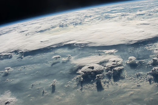
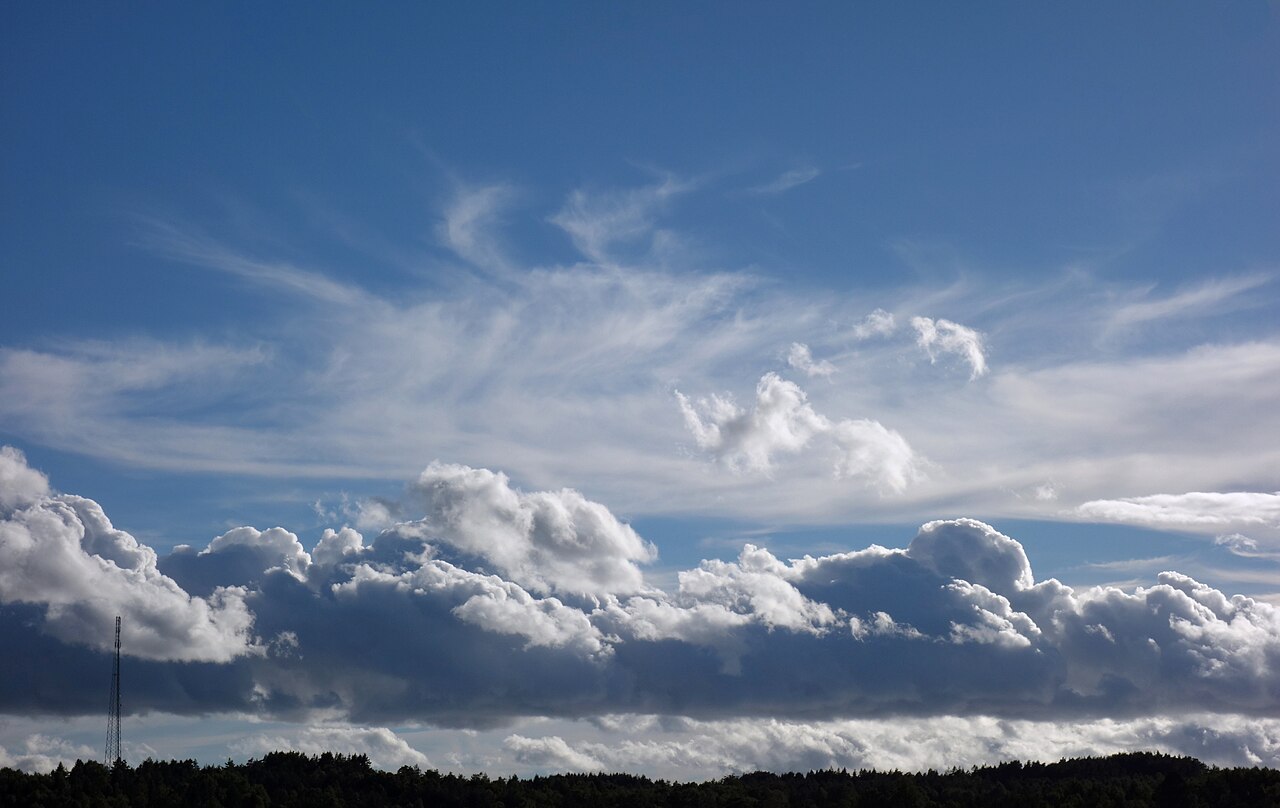
Seen from above, cumulus clouds can organize into extraordinary macro-patterns. These streets typically develop during high-pressure systems, often in the wake of a cold front, when horizontal circulation in the atmosphere channels the convection into parallel rows. The clouds themselves can appear in isolation, in lines, or in loose clusters, and their base altitude is highly sensitive to local moisture content: humid air produces lower bases, while dry air pushes them higher. In temperate zones the base usually sits below 550 metres above ground level, though it can climb to 2,400 metres. Generally, cumulus clouds remain low-level formations, staying beneath 2,000 metres unless they develop into the more vertically developed cumulus congestus variety. Their name, drawn from the Latin cumulus meaning 'heap' or 'pile,' captures the puffy, cotton-like appearance that has made them one of the most recognizable features of a fair-weather sky.
From Puff to Storm
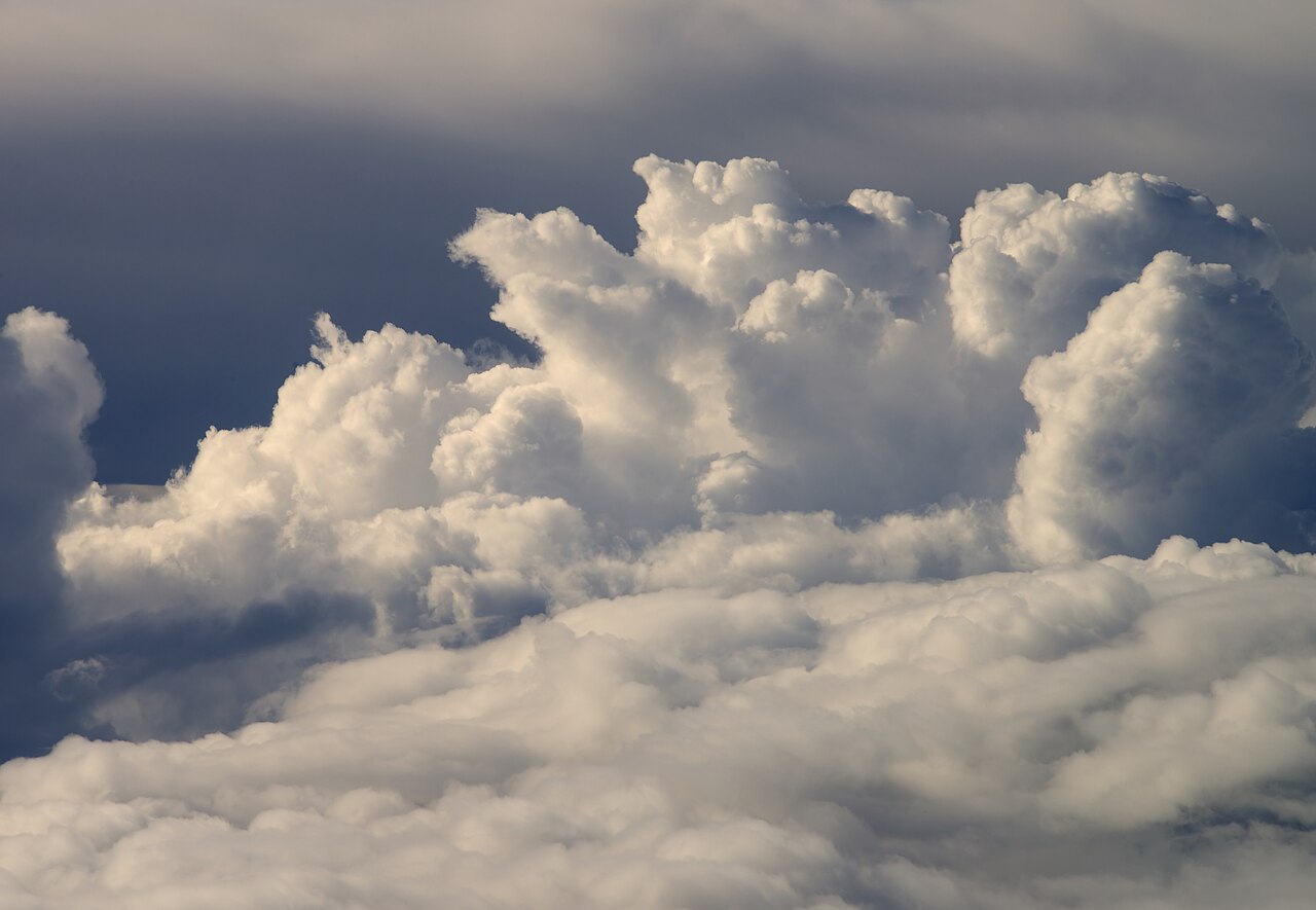
Although cumulus clouds are the gentle, fair-weather variety most people picture, they sit at the base of a broader atmospheric family and can evolve into far more dramatic forms. When instability, high humidity, and a steep temperature gradient align, a modest cumulus can grow vertically into cumulus congestus and eventually into cumulonimbus—the thunderstorm cloud. In its fully developed state, cumulonimbus is sometimes classified separately as cumulonimbiform because of its complex architecture, which often includes a spreading cirriform or anvil top. The cumulus family also has cousins of limited convection: stratocumulus at low level, altocumulus at mid-level, and cirrocumulus at high level, the latter three sometimes grouped as stratocumuliform. Beyond their potential to spawn storms, cumulus clouds play a quiet but important role in the planet's energy balance. By reflecting incoming solar radiation back into space, they cool the Earth's surface. They are composed of water vapour, supercooled droplets, or ice crystals depending on ambient temperature, and they come in four distinct species—humilis, mediocris, congestus, and fractus—arrangeable into the radiatus variety and adorned by up to seven supplementary features including pileus, velum, virga, praecipitatio, arcus, and pannus.
Gallery

Frequently Asked Questions
What is a Cumulus cloud?
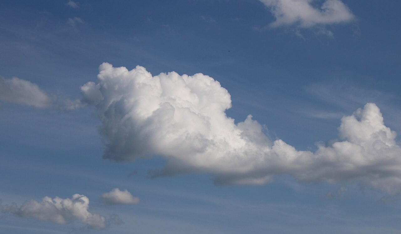
Cumulus is a low-altitude cloud type instantly recognizable by its flat base and puffy, cotton-ball silhouette. The name traces back to the Latin word for 'heap,' and it is usually the first cloud a casual observer spots on a warm, breezy afternoon.
How does a Cumulus cloud form?
It is born from atmospheric convection: warm, moist air near the surface rises, cools adiabatically, and condenses into visible water droplets or ice crystals. Unlike stratus clouds that form through broad frontal lifting, cumulus is the direct product of localized thermal updrafts.
What are the main species within the Cumulus family?
The recognized variants are humilis (small and flat-topped), mediocris (moderate vertical build), congestus (tall with a cauliflower-like crown), and fractus (shredded, ragged fragments). Each species reflects a different stage of convective energy and vertical development.
What role does Cumulus play in Earth's climate?
By bouncing a portion of incoming solar radiation back into space, cumulus clouds act as a natural cooling mechanism for the planet's surface. Their widespread presence over tropical and mid-latitude regions makes them a significant factor in the global energy budget.
Can a Cumulus cloud produce precipitation?
In its standard form it typically yields little to no rain, serving more as a fair-weather indicator. However, if convection intensifies and the cloud deepens vertically into cumulonimbus, it can shift into a heavy downpour, hail, or lightning-producing storm.
More in Meteorology 1-24
Elsewhere in the Meteorology universe
Spotted an error? Know more?
This is a living reference — every entry is fact-audited, and reader corrections feed straight into our audit queue. Suggest an edit · See this site's audit record